002 : GIS Works
I worked as a GIS Specialist for one year at Karomap Semesta, a company specializing in spatial asset management systems that integrate web and mobile technology. Their solutions simplify physical asset inspections, such as infrastructure, through user-friendly systems designed for both online and offline environments.
During this time, I contributed to three major projects:
Mars Harvest
Mars Cocoa Research Station Pangkep · Sulawesi, Indonesia
WebGIS platform for tracking cocoa tree positions, harvest records, tree health conditions, and applied treatments — supporting precision plantation management.
- Designed end-to-end user flow and GIS interface mock-ups
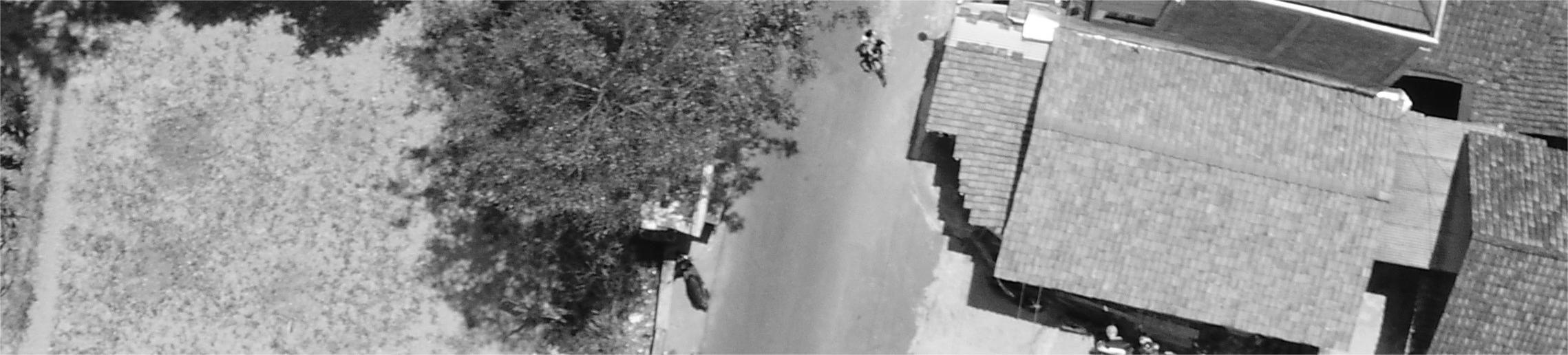
- Conducted aerial photo acquisition for plantation mapping
- Validated spatial data against system requirements
HIMBA
Fairventures Worldwide & BKSDA Kalimantan Tengah · Central Kalimantan
Biodiversity information system (web + mobile) enabling citizen science teams to inventory wildlife and flora, with a WebGIS layer for spatial data management.
- Designed user flow for both web and mobile interfaces
- Created interface mock-ups for the HIMBA platform
- Defined spatial data specifications for field collection
PadatKaryaMangrove
Badan Restorasi Gambut Mangrove (BRGM) · Indonesia
Android monitoring & evaluation app for accelerated mangrove rehabilitation (PRM), built for offline-first field data collection to support remote site operations.
- Designed offline-capable user flow for field teams
- Created mock-ups aligned with rehabilitation M&E workflow
- Specified spatial data schema for field report integration
Personal GIS Works
Beyond my professional work, I have pursued personal GIS projects driven by curiosity and creativity. Some notable examples include:
Wanagis
A full-stack WebGIS platform built with Laravel and Leaflet.js for visualizing and managing forest resource spatial data in Wanagama. Features dynamic GeoJSON layers, role-based access control, attribute tables, and admin tools for spatial data management.
LPG Distribution Analysis
Spatial analysis of LPG supply point coverage across Tangerang Selatan, Indonesia. Includes web scraping, data cleaning, multi-radius coverage analysis (300m / 500m / 1km), and population correlation studies by district with interactive mapping.
Nongsin
A WebGIS platform to help users discover coffee shops in Yogyakarta through an interactive map interface, simplifying cafe discovery for coffee enthusiasts.
Urban Green Space NDVI Analysis
A StoryMap showcasing NDVI analysis to visualize changes in urban green spaces over time using Google Earth Engine and ArcGIS Online.